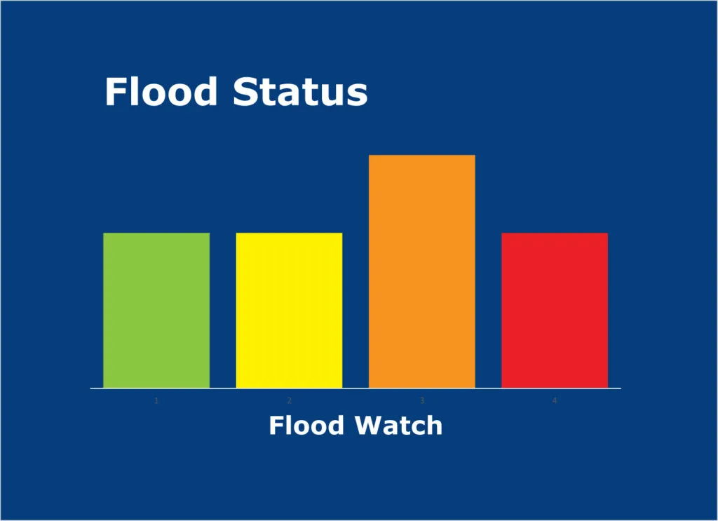
Flood Watch Details
A Flood Watch has been issued for the cities of Dayton and Cincinnati, effective from 7 PM this evening until 10 AM Wednesday morning. This alert comes as heavy rain is forecasted, which may result in rising river levels and potential flooding in vulnerable areas.
More than 2 inches of rain is possible in the heaviest bands, raising concerns for low-lying and flood-prone locations. The National Weather Service has warned that roadways may become covered in water and ponded, making travel hazardous.
The issuance of the Flood Watch is attributed to a warm front that has stalled in southern Indiana, leading to multiple rounds of rain and storms. As this weather system continues to develop, residents are urged to remain vigilant.
Temperatures are expected to reach a high of 60 degrees on Wednesday, with a low of 44 degrees tonight. Following this, temperatures are projected to rise to 67 degrees on Thursday and 75 degrees on Friday, indicating a significant warm-up after the rain.
Officials are advising the public to exercise caution. “If you come across a flooded road, find another way around,” a spokesperson stated. Additionally, residents are encouraged to “please pay attention to official word on flood levels over the next few days as it may rapidly change.”
The Flood Watch does not extend to Louisville, but nearby counties such as Jackson, Jennings, Lawrence, and Carroll may also experience impacts from the weather system.
As the situation evolves, details remain unconfirmed regarding the extent of flooding and its impacts on local infrastructure. Authorities will continue to monitor the conditions closely and provide updates as necessary.


