High Wind Warnings in Effect
High Wind Warnings are in effect for most of western Montana from midnight Wednesday night until 6 PM Thursday. Damaging wind gusts exceeding 50 mph are expected, with isolated mountain gusts potentially reaching up to 80 mph.
Regions Affected
The warnings cover the Kootenai/Cabinet Region, Flathead/Mission Valleys, Missoula/Bitterroot Valleys, Potomac/Seeley Lake Region, Butte/Blackfoot Region, and portions of central, north central, and southwest Montana. Additionally, High Wind Watches are in effect for areas such as Livingston, Beartooth Foothills, and the Absaroka/Beartooth Mountains.
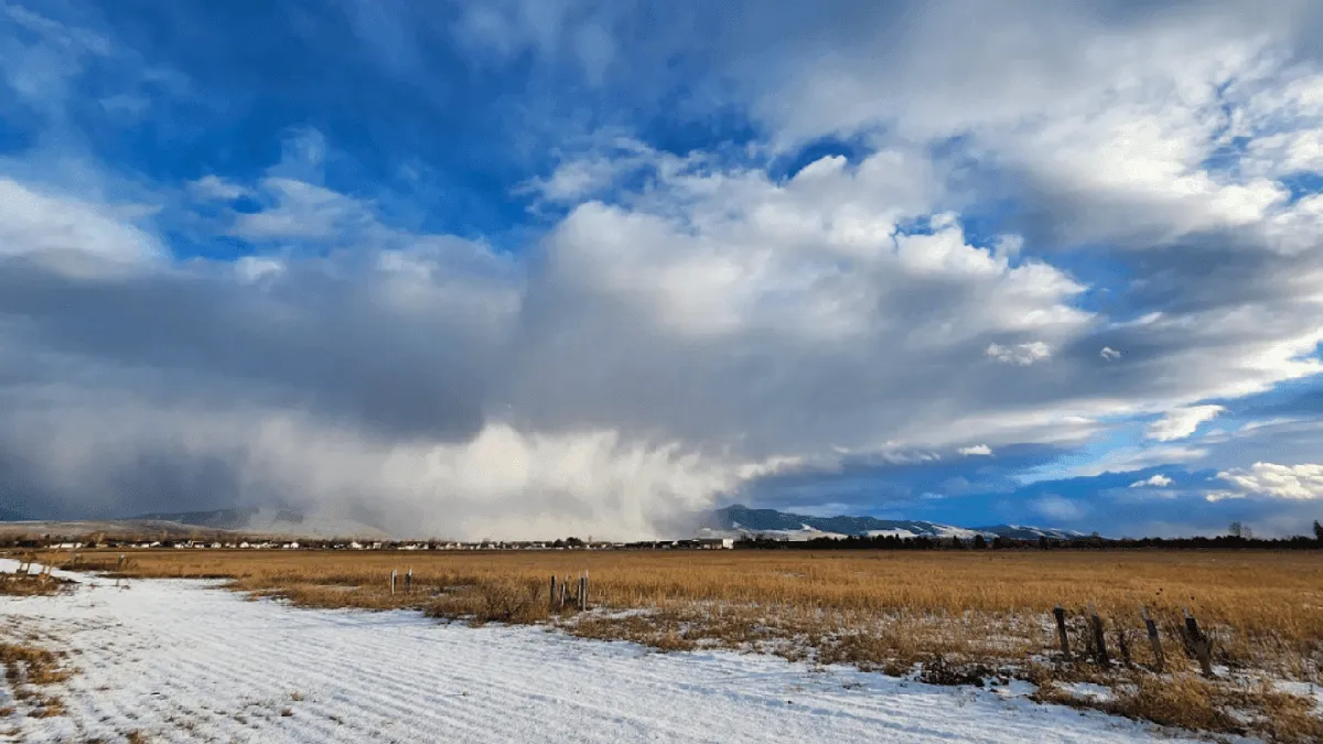
Impending Storm
A powerful atmospheric river is set to impact the Northern Rockies from late Wednesday through Saturday, bringing not only strong winds but also heavy precipitation. Wind gusts of 60 to 80 mph are anticipated in eastern Montana on Thursday, and the storm could produce winds up to 95 mph along the Rocky Mountain Front.
Snow Accumulation
In addition to high winds, the storm is expected to bring significant snowfall. Lower elevations could see 2-6 inches of wet snow, while the high country above 5,000 feet may receive between 20-40 inches. The highest elevations of northwest and west-central Montana could experience up to 3-6 feet of snow.
Temperature Fluctuations
This atmospheric river is also expected to cause significant temperature fluctuations across Montana, further complicating the weather conditions. Details remain unconfirmed as the situation develops.


