Pittsburgh Weather Update
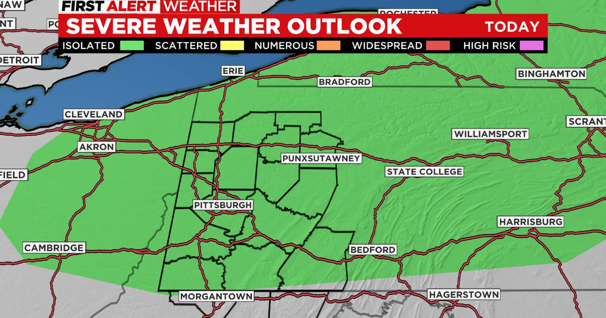
As of March 10, 2026, the Pittsburgh area is under a slight risk for severe weather, as indicated by the National Weather Service’s Storm Prediction Center. This risk includes the possibility of thunderstorms, damaging winds, and even an isolated tornado.
The severe weather threat is expected to peak between 2 p.m. and 11 p.m. today, with the highest chance for tornadoes occurring from 2 p.m. to around 6 p.m. The National Weather Service has warned that “a few severe storms could be significant,” raising concerns among local residents.
Rain and thunderstorms are forecasted to move across the region late tonight into Wednesday, further complicating the weather situation. While a Flood Watch will not be necessary, there may still be minor flooding issues in flood-prone areas.
In light of these conditions, the National Weather Service has declared today as a First Alert Weather Day for the Pittsburgh area. This designation underscores the seriousness of the potential weather events.
Residents are advised to stay informed and prepared as conditions develop throughout the day. The combination of severe weather and the potential for heavy rainfall could lead to hazardous situations, particularly in areas already susceptible to flooding.
This sequence of events is significant for Pittsburgh residents, as severe weather can disrupt daily activities, pose safety risks, and impact local infrastructure. Community preparedness and awareness are crucial during such weather alerts.
As the day progresses, updates will continue to be provided by local weather services to ensure that residents are kept informed of any changes in the forecast or severity of the weather.
Overall, the current weather situation in Pittsburgh serves as a reminder of the unpredictable nature of spring weather in the region, and the importance of staying vigilant during severe weather alerts.


