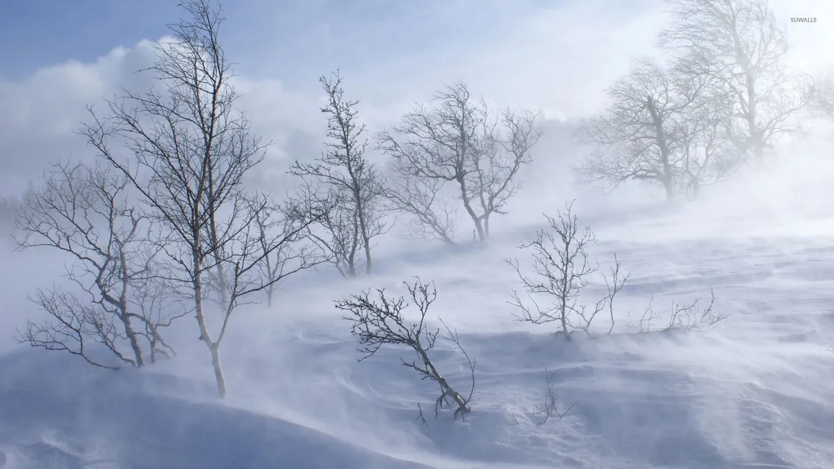
A late-season winter storm is set to bring unprecedented snowfall and dangerous driving conditions to the Sierra Nevada region on May 1, 2026. This storm will affect major routes like I-80 and Highway 50, creating a significant challenge for travelers.
Before this development, forecasts indicated mild weather patterns. The expectation was for a gradual transition into spring—certainly not a blizzard. But that all changed as meteorologists began tracking a powerful system moving into the area.
Now, heavy snow totals of up to 4 feet are predicted in higher elevations. Wind gusts could reach between 50-70 MPH, with local gusts potentially hitting 80 MPH. Such conditions will likely lead to road closures on key highways.
Key facts about the upcoming storm:
- The storm is expected to bring blizzard conditions.
- Snow levels will drop from 7,000 feet to as low as 4,500 feet.
- Chain requirements will likely begin for most vehicles at elevations above 5,000 feet.
- I-80 and Highway 50 may face multi-hour closures from Sunday night into Monday.
The implications for drivers are substantial. Travel will be hazardous, particularly on mountain passes like Donner Pass, where risks are notably high. Experts recommend adhering strictly to winter driving tips—especially regarding chain control and vehicle preparation.
The cleanup process post-storm won’t be straightforward either. With temperatures expected to remain below freezing throughout the week, any melting will be minimal. This forecast complicates recovery efforts significantly.
Expert insights include:
- If you have to travel, watch out for these specific mountain passes: I-80 (Donner Pass): Very high risk.
- The cleanup process isn’t getting much help from the forecast. Temperatures will remain below freezing for most of the week.
- Drivers are legally required to clear snow and ice from their vehicles before hitting the road.
- The system arrives Sunday evening, peaks Monday, and tapers Tuesday afternoon.


