As severe storms approach, a tornado watch has been issued for Lower Michigan, raising alarms for residents in the region. The watch comes as meteorologists predict that severe weather will move into southern Lower Michigan, potentially producing isolated tornadoes through about 4 a.m. on April 14, 2026.
Late Tuesday, tornado warnings were already in effect for southeast Gratiot and northeast Clinton counties, indicating that the situation was becoming increasingly serious. The National Weather Service has warned that damaging winds, with gusts reaching up to 60 mph, and large hail, possibly up to 1 inch in diameter, are expected to accompany these storms.
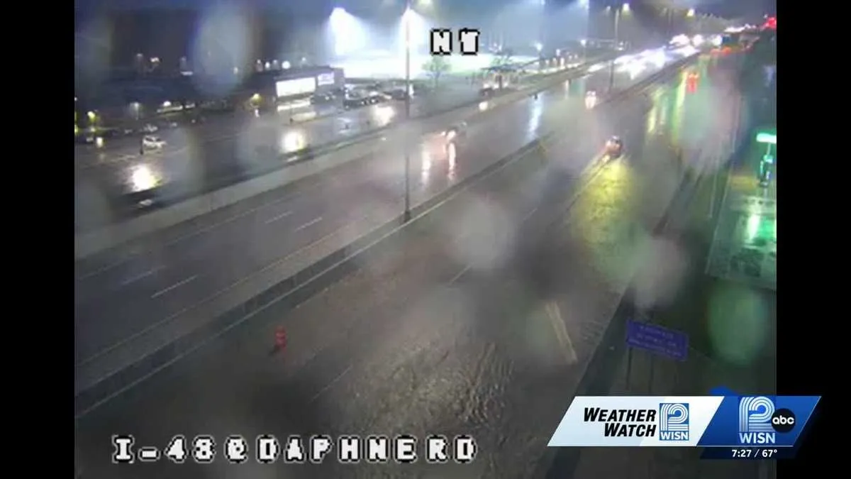
In addition to the tornado watch, much of Lower Michigan is currently under a flood watch, which is set to remain in effect through late Thursday night. Emergency crews are actively working around the clock to relieve pressure at the Cheboygan Lock and Dam Complex, which has been a focal point of concern due to the heavy rainfall.
Evacuations are already underway in Emmet County, where erosion along South Lakeshore Drive has prompted officials to take precautionary measures. The urgency of these evacuations underscores the potential danger posed by the severe weather.
As the night progresses, residents are advised to stay alert and monitor local weather updates. The combination of tornado watches, flood warnings, and severe storm forecasts creates a precarious situation for many in the area.
With the entire Lower Peninsula under a flood watch, the implications of these weather events are significant. Communities are bracing for possible disruptions, and emergency services are on high alert.
As the situation develops, it is crucial for residents to heed warnings and prepare for potential evacuations or emergency measures. The severe weather is expected to peak overnight, and the risks associated with tornadoes and flooding could lead to dangerous conditions.
Details remain unconfirmed regarding the extent of the damage or the number of people affected, but the proactive measures taken by local authorities highlight the seriousness of the situation. Residents should remain vigilant as they await further updates on the unfolding weather events.


