Unpredictable Weather Patterns
March is known for delivering serious weather whiplash to the tri-state area, and this week is no exception. Just days ago, Central Park broke its high temperature record for the day, hitting an unexpected 80 degrees. This warm spell led many to believe that spring had arrived early in New York City.
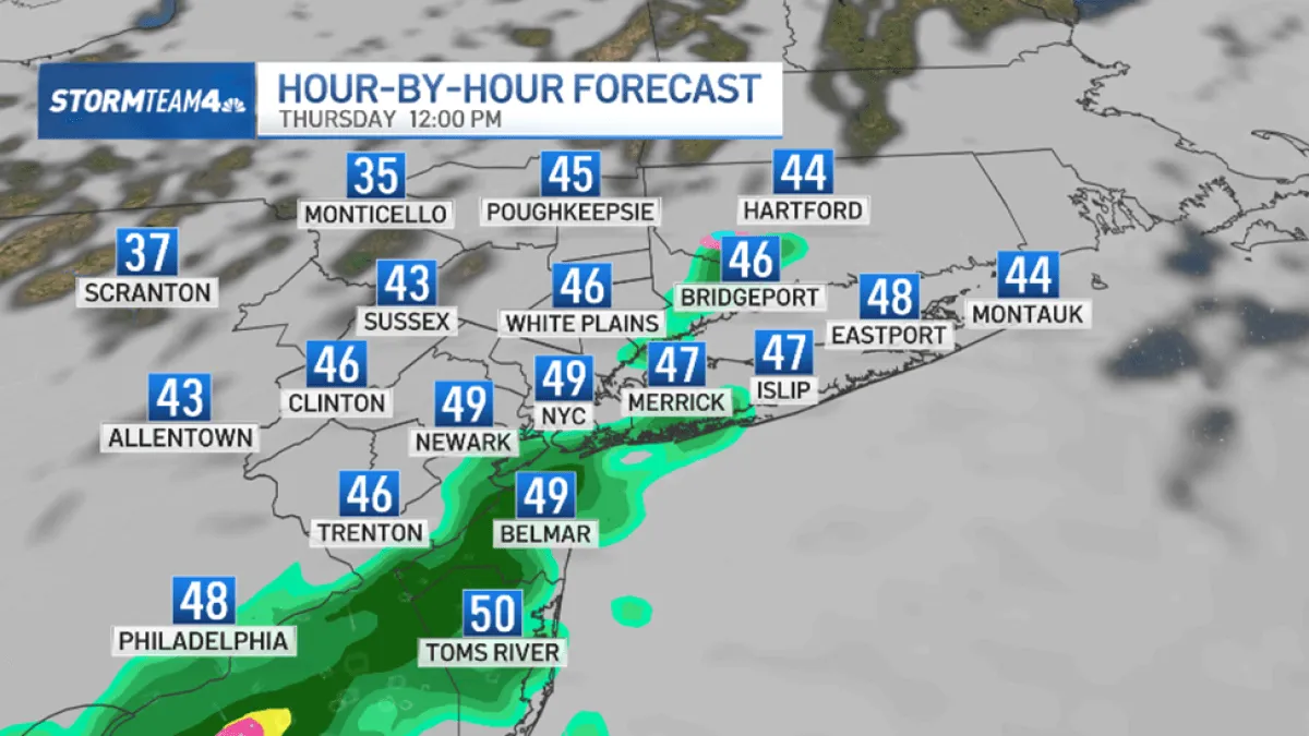
Rapid Temperature Drop
However, the forecast has taken a sharp turn. Starting Thursday morning, temperatures are expected to begin in the 50s and 60s but will quickly drop into the 40s by afternoon. Winds will gust up to 30 mph, adding to the chill in the air.
Snow on the Horizon
As the day progresses, light showers could mix with snow as temperatures aloft drop below freezing. This sudden shift from warm to cold has left residents in a state of confusion, as many are still adjusting to the recent warmth.
Impact of Recent Snowfall
Adding to the weather complexity, several inches of snow have already fallen across the Tri-State area. Battery Park received 1.5 inches, while Central Park recorded 1.8 inches of snow. JFK Airport saw 2.0 inches, and Coney Island experienced 2.9 inches. These accumulations have raised concerns about travel disruptions and road conditions.
Looking Ahead
Friday is expected to be the coldest day of the week, with morning low temperatures near freezing and high temperatures only reaching the low to mid-40s. This stark contrast from the earlier warmth has prompted meteorologists to advise residents to prepare for winter-like conditions.
Expert Insights
CBS News New York Meteorologist Tony Sadiku noted, “The warm weather continues Wednesday but there could be showers in the afternoon and evening.” This highlights the unpredictable nature of March weather in NYC, where conditions can change rapidly.
As New Yorkers brace for the upcoming cold snap and potential snowfall, it serves as a reminder of the volatility of spring weather in the region. Details remain unconfirmed regarding the extent of the snowfall expected later this week.


