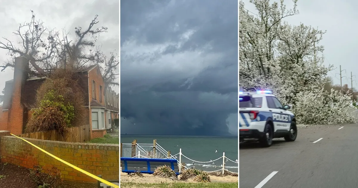
“This storm means business, and we are expecting a robust environment for severe storms that will lead to multiple rounds of severe weather,” said Meteorologist Tony Nargi, highlighting the seriousness of the situation.
Today, multiple tornado warnings and severe thunderstorm warnings have been issued across Virginia and North Carolina. All seven cities in Hampton Roads are currently under a tornado watch until 7 p.m., indicating the potential for dangerous weather conditions.
A tornado warning was specifically issued for Camden and Pasquotank Counties from 3 p.m. to 3:30 p.m., while Perquimans and Chowan Counties experienced a similar warning earlier from 1 p.m. to 1:15 p.m.
Temperatures in the region are expected to start in the upper 60s and rise to the low to mid 70s in the afternoon. However, the severe weather threat is anticipated to begin around 9 or 10 a.m., with gusts of wind reaching up to 40 mph.
As the day progresses, meteorologists warn that gusts could escalate to as high as 80 mph during the late afternoon and evening, increasing the risk of severe weather.
In Alabama, a freeze warning is in effect through Tuesday morning, with temperatures expected to drop to about 31°F by midnight and 26°F by tomorrow morning. This follows a recent snowfall of one inch recorded in Birmingham, marking the fourth latest measurable snowfall in recorded history.
A warming trend is expected in Alabama after the freeze warning, with highs projected to reach the 70s by Thursday.
As the severe weather threat continues, meteorologists emphasize the importance of staying informed. “The threat ends this evening as the cold front pushes through between 9 PM and midnight,” they noted, providing a timeline for when conditions may improve.
Residents are advised to remain vigilant and prepared as the situation develops throughout the day.


