Weather Conditions Prior to the Winter Storm Watch
Before the issuance of the winter storm watch, weather conditions across various regions were relatively stable, with expectations of typical late winter weather. However, meteorological forecasts indicated the potential for significant changes as a powerful kona low approached the islands of Hawaiʻi, drawing deep tropical moisture from the northwest.
Decisive Changes and Immediate Impacts
The situation shifted dramatically as the National Weather Service issued a winter storm watch for the summits of Maunakea and Mauna Loa in Hawaiʻi. Heavy snow accumulations of up to 8 inches were predicted at the summits, alongside a flood watch for the Big Island, effective from Wednesday evening through Saturday afternoon. This marked a significant departure from previous forecasts, signaling the onset of severe weather conditions.
In Michigan, the weather also took a turn for the worse, with flood watches issued due to heavy rainfall. Reports indicated that 1.25 inches of rain had already fallen at MBS International Airport, with 1.5 inches recorded in Saginaw and 2.27 inches at Tuscola Area Airport. The situation escalated further with a winter weather advisory for the Tri-Cities region and northern Thumb, where freezing rain was anticipated.
Effects on Local Communities
The impacts of these weather warnings were immediate and significant. In Michigan, utility companies reported a total of 9,077 customers without power due to the severe weather, alongside 317 customers affected by DTE Energy. The combination of heavy rainfall and freezing temperatures raised concerns about flash flooding and hazardous driving conditions.
Expert Perspectives on the Situation
Experts weighed in on the evolving weather patterns. The National Weather Service warned, “Considerable flash flooding is possible beginning later today as a large and powerful kona storm northwest of the state draws deep tropical moisture northward across the islands.” This statement underscored the urgency of the situation in Hawaiʻi, where residents were urged to prepare for significant weather impacts.
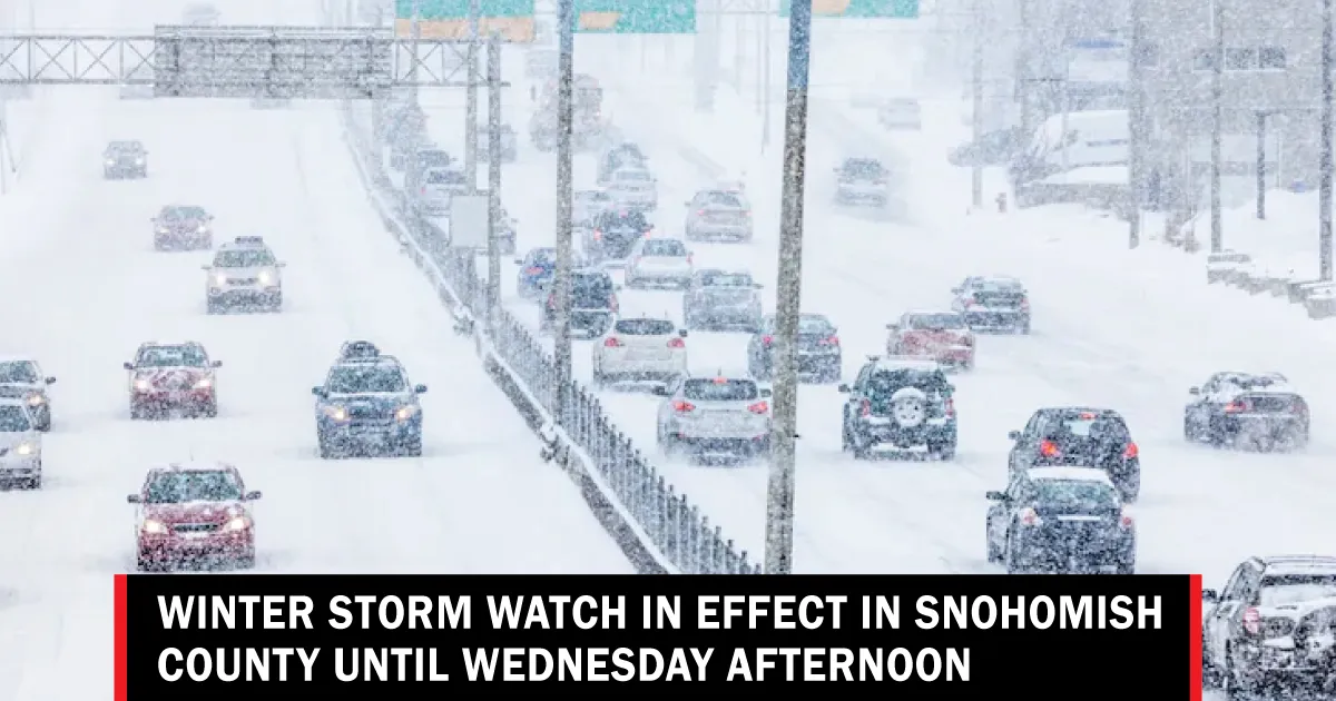
In Washington, a blizzard warning was issued for the Cascades and Olympics, with forecasts predicting between two and four feet of snow through Thursday morning. Winds of up to 55 mph were expected, creating conditions for blowing and drifting snow. Ted Buehner, a meteorologist, described this late winter storm as likely to be the strongest of the season, emphasizing the potential for hazardous conditions.
Conclusion and Ongoing Monitoring
As the winter storm watch continues to unfold across these regions, local authorities and residents are advised to stay informed and prepared for rapidly changing weather conditions. The National Weather Service and other meteorological agencies are closely monitoring the situation, providing updates as necessary. Details remain unconfirmed as the storm progresses, and communities are encouraged to take precautions to ensure safety during this severe weather event.


