As the day unfolded on March 26, 2026, residents in the Chicago area and northern Indiana braced for severe weather. Just before 4:21 PM UTC, the National Weather Service issued a severe thunderstorm watch, signaling that conditions were ripe for dangerous storms.
The watch encompasses several counties, including LaSalle, Grundy, Will, and Kankakee in Illinois, as well as Lake, Porter, LaPorte, Newton, and Jasper in Indiana. This extensive coverage indicates a widespread threat, particularly as the storms are expected to intensify later in the evening.
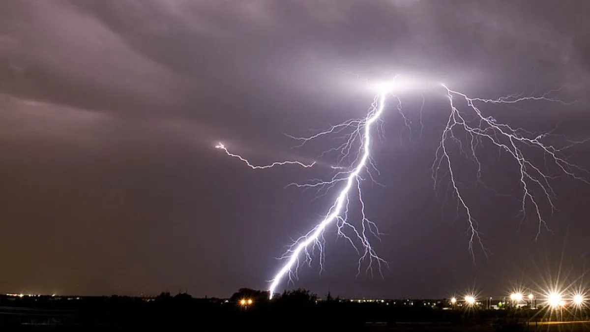
Forecasters are particularly concerned about the potential for large hail and damaging winds. With wind gusts predicted to reach up to 65 miles per hour, the risk of property damage and hazardous driving conditions is significant. Additionally, hail could exceed two inches in diameter, posing a threat to vehicles and crops alike.
The severe thunderstorm watch is set to remain in effect through midnight Thursday, with strong-to-severe thunderstorms anticipated to develop between 6 PM Thursday and 1 AM Friday. This timeframe is critical, as it coincides with peak evening activity, potentially impacting evening commutes and outdoor plans.
Parts of the Chicago area were already at an ‘enhanced’ risk of severe storms, underscoring the seriousness of the situation. Residents are advised to remain vigilant and stay updated on weather alerts as conditions can change rapidly.
As the storms approach, the importance of preparedness cannot be overstated. Those in the affected areas should secure outdoor items, prepare for possible power outages, and have a plan in place for severe weather. The implications of these storms extend beyond immediate safety concerns, affecting local infrastructure and emergency services.
In summary, the issuance of a severe thunderstorm watch for the Chicago area and northern Indiana highlights the potential for dangerous weather conditions. As the evening progresses, residents must stay informed and take necessary precautions to ensure their safety.


