The numbers
A tornado warning was issued for Northeastern Spartanburg County at 8:16 a.m. ET on March 16, 2026. The storm, moving east at 45 mph, was expected to reach areas near Chesnee and Cowpens National Battlefield around 8:20 a.m. ET. This warning is part of a broader severe weather threat affecting multiple counties in the region.
In addition to Spartanburg, tornado warnings were also issued for Cleveland County and several counties in western North Carolina. Radar indicated rotation in a storm located approximately 13 miles south of Forest City, raising concerns about potential tornado activity.
The National Weather Service has issued a tornado watch for 22 counties across central North Carolina, effective until 2 p.m. ET. This watch reflects the severity of the storm system, which is capable of producing damaging winds up to 75 mph with the strongest storms. Every county in South Carolina is currently under some form of severe weather threat.
March 16 has been designated as a First Alert Weather Day for the Greenville-Spartanburg region, highlighting the potential for severe thunderstorms. Residents are advised to stay informed and prepared as the situation develops.
As the storm system continues to move through the Carolinas, observers expect that residents in warned areas should monitor alerts in real time and take cover immediately if a tornado warning is issued. The threat of severe weather remains high, and precautions are essential.
Details remain unconfirmed regarding exact warning polygons, start and end times, or specific communities included in the warnings. However, the urgency of the situation calls for immediate action from those in affected areas.
As this powerful and dangerous storm system sweeps through the region, local authorities and meteorologists are working diligently to provide updates and ensure public safety. Residents are encouraged to heed warnings and stay alert to changing weather conditions.
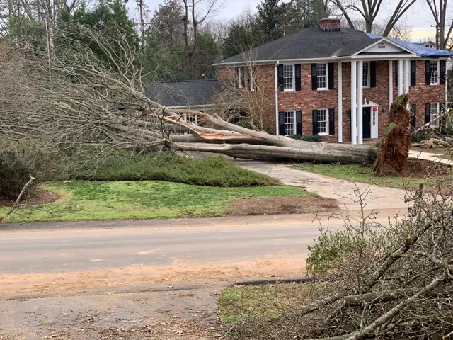
With the potential for large hail, damaging winds, and tornado activity, the situation remains dynamic. Communities are urged to remain vigilant as they navigate the challenges posed by this severe weather event.


